WindyHill
Yeah, it's actually that windy. It's also 1,400 acres of golden ridge, cool redwood canyon, and a summit that hands you the whole Bay Area on a clear day. Bring a windbreaker. Maybe a kite. 🪂
By the numbers
Big hill. Bigger bragging rights.
Summit elevation
Acres of open space
Degrees of view up top
Trails to choose from
The wind-o-meter
Drag it. Pretend you checked the forecast.
Full-send gusts. Hold onto your snacks. 🌬️
Choose your own adventure
How much hill do you want today?
Tap your vibe. We'll match you to a real trail with real numbers. No judgment if you pick the 30-minute one.
One hike, two planets
Sun-baked up top. Forest-cool below.
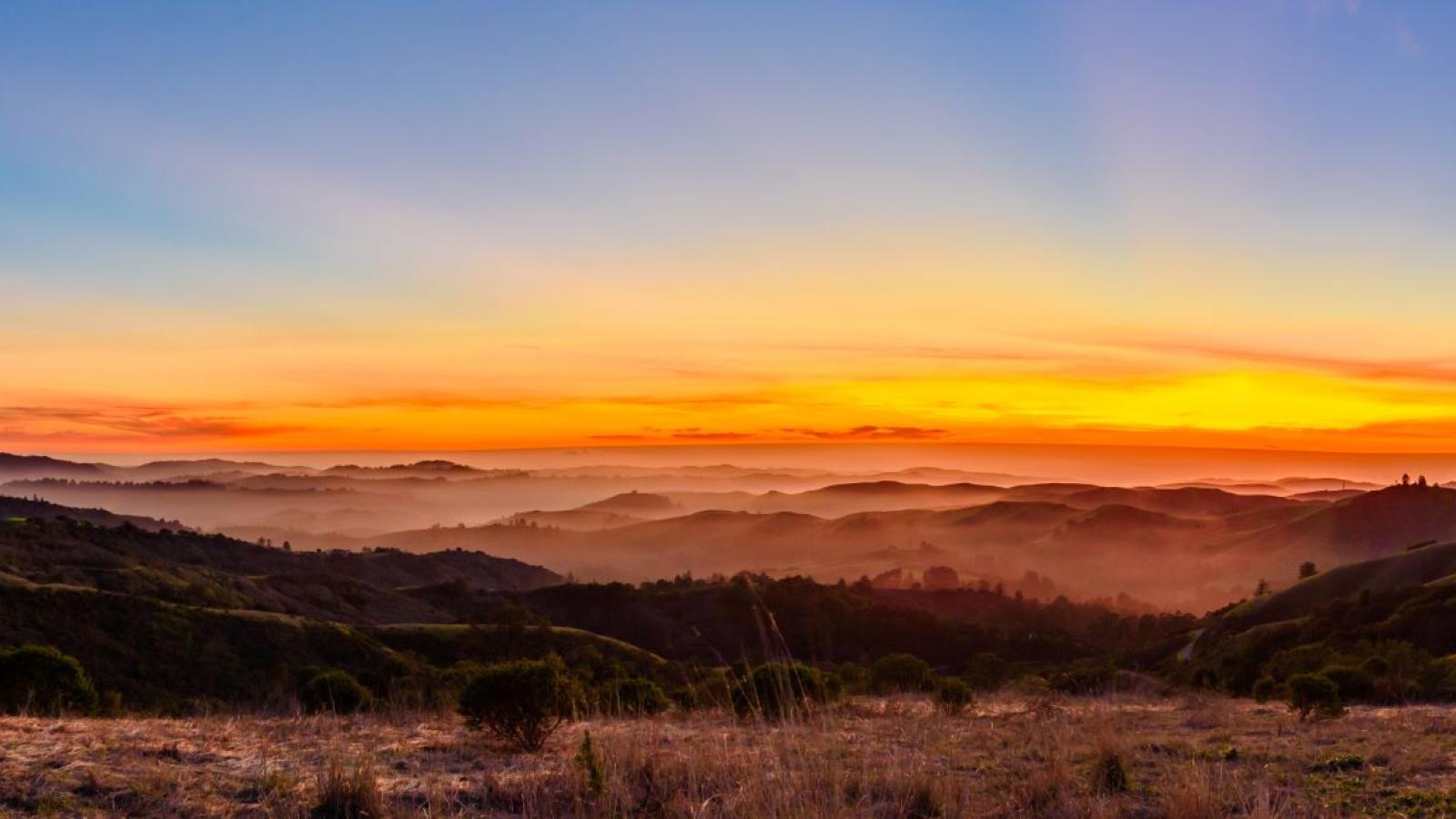
Windy Hill pulls off a magic trick: blazing golden grassland on the ridge, then a plunge into shaded redwood, fir and oak canyon. Same trail, totally different weather. Pack layers.
Up on the ridge
Golden grassland
Open, breezy, blasted with light, with that 360° view stretching to the Bay one way and the coastal ridges the other. Sunset here is the whole point.
- ☀️ Big sun
- 🌬️ Big wind
- 🌅 Sunset MVP

Down in the canyon
Redwood shade
Drop off the grass and the temperature drops with you, into cool, quiet, ferny forest of redwood, fir and oak. The shady reward after the sweaty climb.
- 🌲 Shade city
- 🍃 Cool air
- 🐦 Birdsong
Tap to flip
Five facts, freshly windswept
Go on, flip a card. Impress someone at the trailhead.
Trail bingo
Spot it, tap it, win nothing
(The prize is being outside. The prize was always being outside.)
Know before you go
The boring-but-important bit
Hours & price
Open dawn to dusk, every day. Entry is free, the wind is also free.
Getting there
Parking lots line Skyline Blvd (Hwy 35) up near the top, plus a lower trailhead from the Portola Valley side near Spring Ridge / Alpine Rd.
Dogs welcome (mostly)
Leashed good dogs are allowed on most trails, except Lost Trail and Razorback Ridge. Keep it a 6-foot, non-retractable leash.
Pack smart
Bring water, sun cover, and a windbreaker, the ridge earns its name. Bikes and horses are welcome on their designated trails.
Always check openspace.org for the official map, current conditions, and rules before heading out.